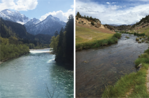
Models that predict the flow of rivers and streams are critically important for planning flood control, hydropower, and reservoir operations, as well as for management of fish and wildlife populations. As temperatures and precipitation regimes change globally, the need to improve and develop these models for a wider spatial coverage and higher spatial fidelity becomes more imperative. Currently, one of the biggest impediments to developing robust streamflow knowledge is incomplete understanding of the range of timescales over which water is stored (e.g., in snowpack, soils, and groundwater) in watersheds, as well as the processes and factors that control those storage timescales. We are working as part of a USGS Powell Center for Synthesis working group to address that knowledge gap by developing a globally extensive database comprising measurements of streamflow and other ancillary variables (e.g., precipitation, temperature, snowpack, soil moisture, shallow aquifers) for watersheds ranging in size from headwaters to large river basins. Second, we are developing a complementary database of storage timescales for each of the watersheds, derived from flow models, tracer studies, and emerging statistical techniques for analyzing time-series data. These activities will support the development of flow forecasting models and yield fundamental understanding of how geological, geographical, and climatic factors control storage within watersheds. With collaborators at the Berkeley Institute for Data Sciences and Lawrence Berkeley Labs, we are using the information about storage timescales to produce forecasting models for select watersheds in a manner that merges data-driven with physically based approaches to modeling.


